Hikes - May/June 2020
We managed to fit a couple of hikes in late May and June. We normally go on a few hikes during the season, but are doing more since we didn't do our usual longer vacation. Some of the hikes are ones that Melody has done with her mid-week hiking group (which is not active this summer).
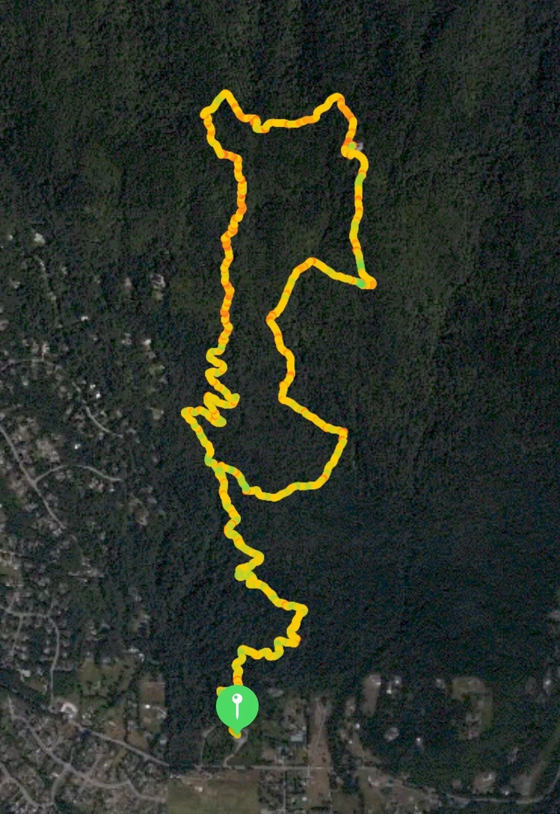
The route map tracks my heart rate, so the more red the path, the higher my pulse. The graph shows our altitude (the top one) and our pace (the bottom line). It also shows both distance (white numbers at the bottom) and where we were at the various hour markers (black numbers at the top).
Teneriffe Falls
Teneriffe Falls—24-May-2020, 6.5 miles, 1,615 feet gain
This being our first hike of the season, we didn’t want to overdo it, so we went for a hike that looked like it was neither too steep nor too long. As a plus, it was also not very far away, near Mount Si in North Bend. The parking lot was less than half full, which was a relief. After gathering our things, we started off.
We weren’t sure whether people would be wearing masks and keeping their distance from each other. I went with a mask with ear loops that I sometimes took off and put on while near people, and other times pulled down to my chin. Neither was very satisfactory, so I ended up facing the other direction when passing others (or, more often, were passed). Melody had a bandanna that she kept around her neck and pulled up when near people.
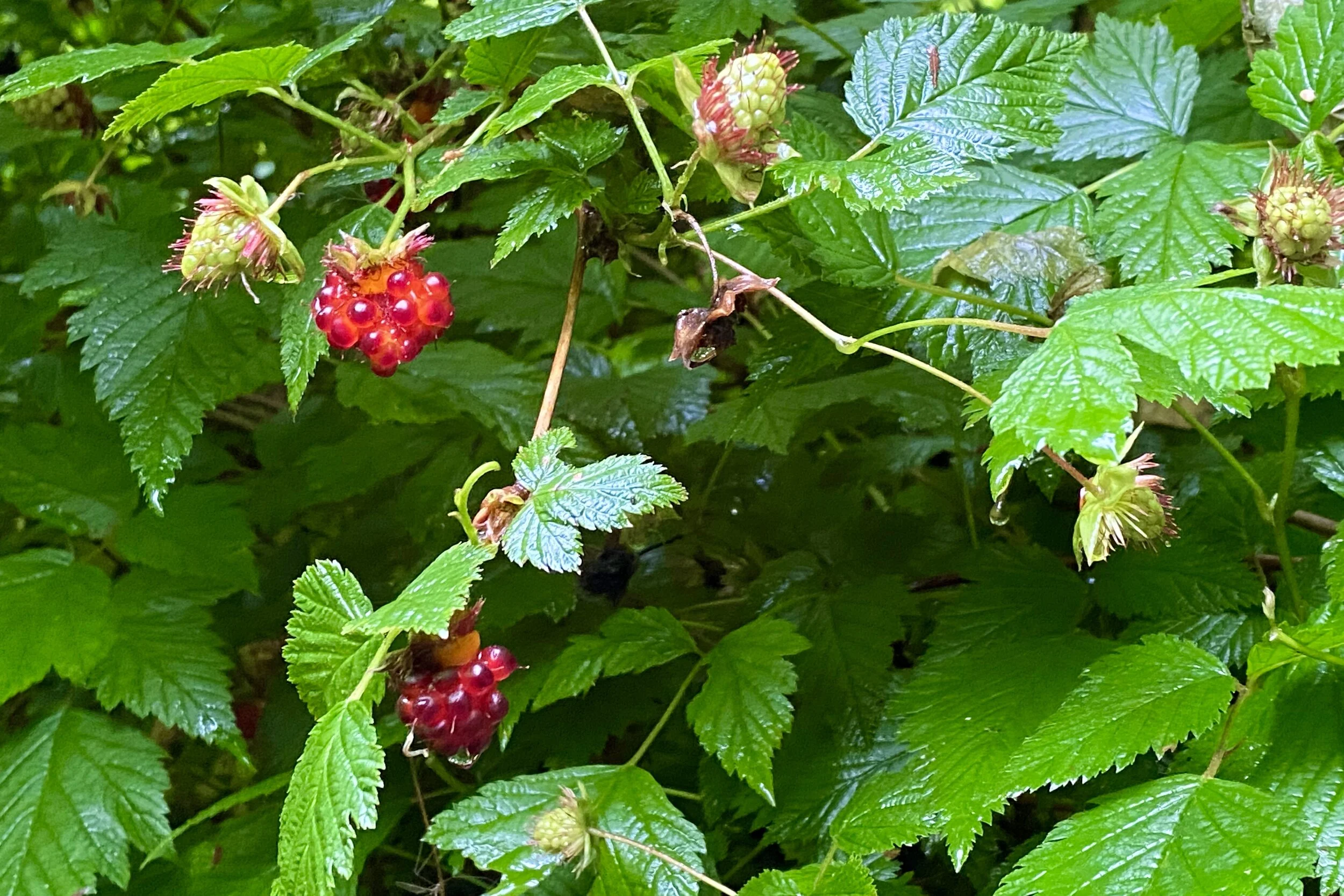
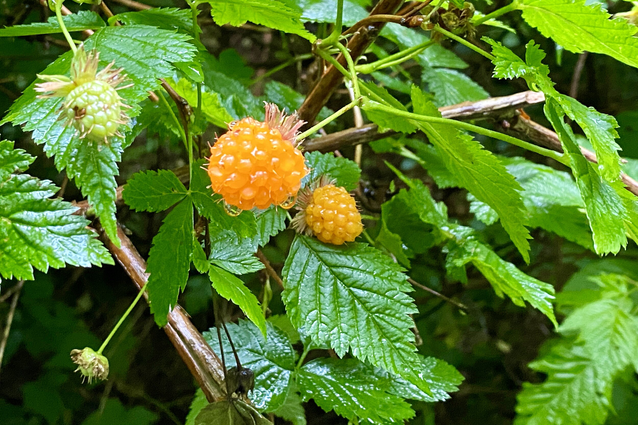
As it was, there weren’t too many people on our way up. The trail got a bit steeper after a couple of miles, then we started on some switchbacks. There were only a few people at the lower falls, so we were able to get a quick view before climbing to the upper falls. There was only one group there who were leaving, so we got a great view without worrying about the distance between people. The upper falls is a part of the mountain that is a steep slope with lots of boulders, so you get lots of little, cascading waterfalls.
On the way back down, we took a longer look at the lower falls, and I was able to get out far enough for some photos. While we didn’t see many people on the way down, there were lots of people heading up on our return, more the further we got. Partway down, we found a good spot to have our lunch, then went the rest of the way to the car.
Arriving at the parking lot, what we saw was very different than when we started. Not only was every spot taken, but so was everywhere you could park a car while still leaving other cars (sometimes just) enough room. A woman hopped out of a circling car, asking if we were leaving, so they got our spot (I had to wave away another car hoping to take it). We’re glad we got started before most of the crowds.


May Valley Loop
May Valley Loop—28-Jul-2020, 6.75 miles, 1,780 feet gain
This hike was in the Issaquah Alps, so even closer than Teneriffe Falls. The weather wasn't great (overcast with some drizzles) so we hoped that would keep away most of the crowds.
The parking lot was pretty empty (but also pretty large) so that was a good sign. We hiked through some lush forest and some bare forest, hearing the drizzle hitting the canopy far above us, but not getting us wet. At one point we were taking a quick break, then heard a branch breaking off; it landed about 25 feet away from us, so good thing we looked up to see where it was coming from.
The trail is a lollipop, so we took the recommendation of doing the loop in a clockwise direction. About halfway we saw the Bullitt Fireplace, what's left of the Bullitt family home on Squak Mountain. It was the Bullitt Family who donated the initial parcel which became the Squak Mountain State Park. There was a group of people having a picnic on the foundation, so we didn't walk right up to the fireplace; we did get a pretty good look, nevertheless.
We continued to gain elevation until we got to the peak, where there was a microwave station with three huge antennas. Surrounding the area was a lot of foxglove, but since it was foggy, we couldn't see very far. Not seeing a good place to picnic (and it being still pretty early), we started heading down the road. We ended up taking the road most of the way down until we got back on the trail to finish the lollipop, and then made it back to the parking lot.
The lot was still pretty empty, so we grabbed an available picnic table and had our lunch. We lucked out with the weather, both that it kept people away, and that we didn't get very wet.